Welcome, ballooning educator!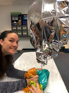
Below is a series of resources to help you as you begin your foray into mid-altitude ballooning (MAB). If you have questions, please feel free to email me at j_cozens@yahoo.com.
How to track a balloon on aprs.fi:
- go to aprs.fi
- in the “track callsign” box, type in the callsign of the balloon you want to track
- To look at previous data, click on any of the red dots in the path to see that packet of information
- Overnight, the balloon does not send out any packets (it is solar-powered), so when the first packet of information in the morning is sent, aprs.fi will “connect the dots”- that is not necessarily the path the balloon took in that period of time.
If you’ve never seen or tracked a pico balloon before, here’s another way to see and explain it to your students, in a google slides format-
How to track a MAB (for Kindergarten and higher)
How to predict the path and track a MAB (for 6th grade and higher)
A single-page .pdf on how to track a balloon for families
How to track and graph the balloon (for grades 3+)
After printing out the included graphing “paper”, make a dot per half hour. If tracking multiple balloons, use different colors for each balloon. After day 1 (launch), start graphing based on the first packet of information from that balloon- even if the timing is different for each balloon (you may be graphing the second hour of a flight from one balloon, and the first half hour of the other balloon).
NOTE- occasionally the temperature sensor is off on the balloons. If the first packet after launch states that the temperature is 24℃, the sensor is faulty- pick another balloon to graph. The altitudes and speed are extremely reliable.
Altitude graphs- for mylar balloons
Altitude graphs- for SBS-13 balloons (circumnavigation)
Temperature graphs
Speed graphs
How to track the balloon’s path (for grades Pre-K-12)
There are a series of maps, depending on age levels. As the balloon moves, students can simply color in that state/province/country.
North America map with labeled states/provinces
North America map- no labels on states/provinces
Color map of time zone locations
World map- unlabeled
A full math/science unit on pico balloons (for grades 4+), all on Google Slides
Pico balloon STEM unit- grades 4+
Articles (for grades 4+)
What is APRS?
What is the Jet Stream?
Are you ready to do a launch now? Wonderful!
Here are some resources to get you started:
A step-by-step video on how to fill an SBS-13 (circumnavigation) balloon
A step-by-step video on how to use software to predict and track a balloon
Written directions on how to predict and track a MAB
Google Slides presentation on step-by step for predicting and tracking a MAB balloon